
.jpg)
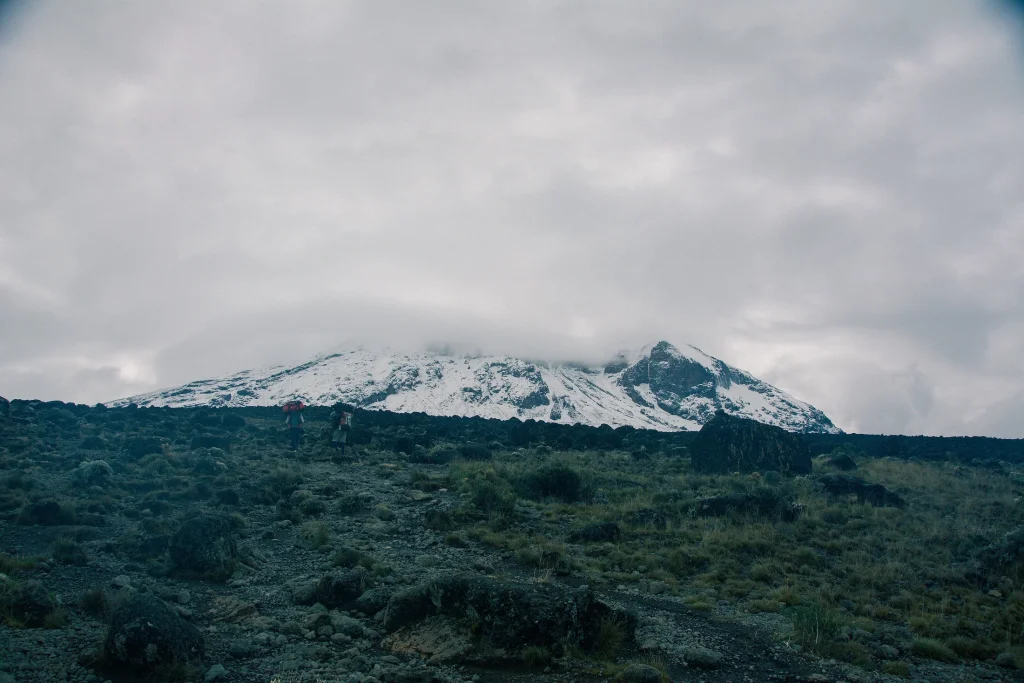
A photograph can make Kilimanjaro look like a single destination at the top of a mountain. The landscape is more layered than that. Forest, open moorland, exposed ground and summit country belong to the same mountain, but they ask for different kinds of attention. Understanding that variety is useful even before you consider a particular walk or trek.
Begin with the whole mountain
UNESCO describes Kilimanjaro as an isolated volcanic massif and identifies Kibo, Mawenzi and Shira as its three principal volcanic forms. They are useful names to keep separate when reading a guide or choosing photographs. A view of Mawenzi should not be labelled as Kibo, and a picture of Shira’s open country tells a different story from a close summit view.

Private Kilimanjaro Airport Transfer JRO ↔ Moshi/Arusha
We provide reliable, punctual private transfers with experienced local drivers. With flight tracking, flexible pickup times, and clear communication...

From Kilimanjaro Airport One Way Private Transfer to Arusha Town
The driver will be waiting for you ready to take you to the Northern Tanzania tourist town in an air-conditioned cl...

5 Days Tanzania Big Cat Safari
Discover the breathtaking beauty of Tanzania on this unforgettable safari adventure through some of Africa’s most...

Private Airport & City Transfers in Arusha, Tanzania
Why Choose TrustWay Transfers? Reliable and Punctual: We value your time. Our drivers are trained to ensure timely...
Think about distance as well as height. From farther away, the mountain has a relationship with the surrounding land and sky. Closer in, a path, plant or rock face can fill the whole view. Neither distance is the complete mountain. A useful visit leaves room for both the broad setting and the details that give it texture.
Watch the vegetation change
The World Heritage account distinguishes lower slopes, montane forest, heath and moorland, alpine desert and summit. These are an orientation to a varied environment, not a promise that every itinerary passes through identical scenes in identical weather. A photograph records one place and one moment; its conditions cannot stand in for your travel dates.
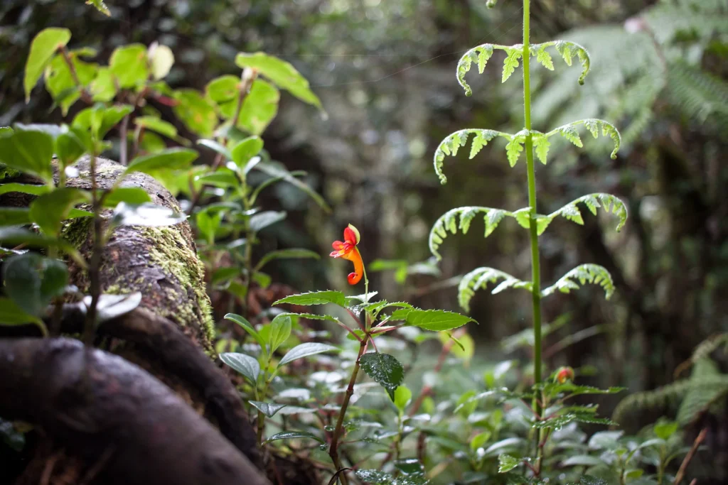

In forest images, look beyond the biggest trees. A flower, a mossy branch or a patch of shade can show something that a wide mountain view misses. In more open country, notice how the size and spacing of plants change. Those observations give your questions to a guide a useful starting point.
Make room for close details
Plant portraits and broad views work well together. The close image makes shape and texture legible; the wide image shows the relationship between that subject and its surroundings. Keep those roles distinct when choosing what to photograph. There is no need to repeat the same distant summit photograph throughout a day’s record.
| Distance | What to notice | A useful question |
|---|---|---|
| Wide view | Mountain form, surrounding land and cloud | Which part of the massif is visible? |
| Middle distance | Vegetation, paths and shelter | How does this setting differ from the last? |
| Close view | Leaves, flowers and rock surfaces | What makes this detail belong here? |
Keep the names attached to the pictures
A simple caption can do a great deal of work. Record the identified location, the subject and the date if you know them. If a guide helps identify a plant or place, ask how they would like that knowledge credited. Do not give a photograph an exact name simply because a similar image appears elsewhere online.
- Keep the original context alongside edited or cropped photographs.
- Distinguish an image date from current conditions.
- Ask before making a person the subject of a portrait.
Turn the landscape into a planning question
Decide which environments interest you, then discuss the possibilities with an appropriate licensed operator. A desire to see forest or moorland is a starting point for that conversation, not an itinerary on its own. Ask what the proposed day actually includes and how it fits the rest of your trip. See our trek-planning questions before comparing offers.

Best Kilimanjaro hiking day trip tour From Arusha/Moshi
Majestic Mount Kilimanjaro is the awe-inspiring landmark of Tanzania but you don’t need to climb it to experience its full beauty and the captivatin...

Kilimanjaro one day hike experience by KILITA SAFARIS
Experience a scenic day hike on Mount Kilimanjaro via the popular Marangu Route, perfect for beginners and travelers...

Arusha National Park Private Safari
Arusha National Park is the closest national park to Arusha town covering an area of 137 sq. km and is about 60kms f...

Materuni Waterfall and Coffee Plantation Half Day Tour
Enjoy a half-day tour to the edge of Mt. Kilimanjaro for: 1. Professional English speaking guide 2. Guided waterfall...
UNESCO’s Kilimanjaro description provides the landscape context. Check TANAPA’s visitor guidance for current park information.